Please click on images
to see
larger views
![]()
Map Works was started in late 1998 by Ralph Vomaske. Ralph Vomaske, the owner of Map Works, has worked for USGS National Mapping Division, and at private photogrammetry firms before starting Map Works. He is a member of Professional Land Surveyors of Colorado and the American Society of Photogrammetry and Remote Sensing. Primary photogrammetric production is using DAT/EM and DVP software. This is the most used softcopy worldwide.
|
|---|
303 667-3540
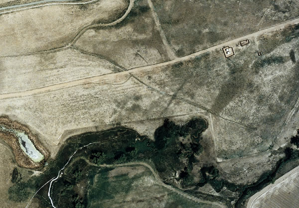
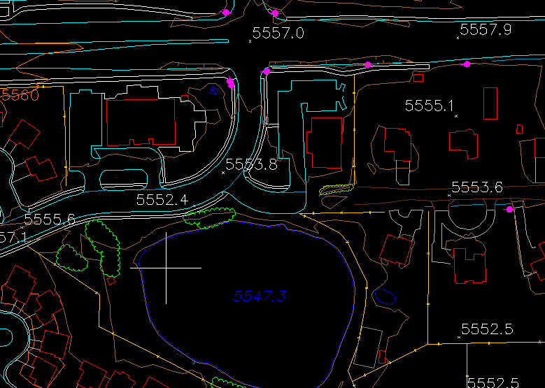
Map Works provides maps and performs mapping as a service using aerial photography. Interpolation of contours is included as a result of DTM -- digital terrain mapping -- collection. We specialize in orthophoto and use photogrammetric software.
Tags and keywords include map, mapping, contours, contour, dtm, digital terrain mapping, orthophoto, photogrammetric, and aerial.